Description
‘Get to Know The Greenline’ is your opportunity to learn more about the site for Melbourne’s Greenline Project, and its plans to transform the north bank of the Yarra River – Birrarung. This is your lens through which to explore existing points of interest – cultural heritage, public art, ecology, as well as highlighting key areas of future transformation.
What's On
Beginning at Birrarung Marr Lower Terrace, this self-guided tour will take visitors westward along the north bank of the river to Buluk Park (Library at The Dock) in the Docklands, with a variety of stops along the way.
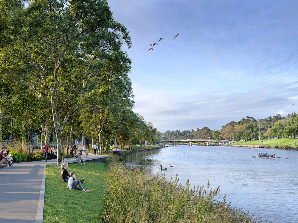
Images: (1) Birrarung Marr river edge, artist's impression, 2022. (2) Banana Alley artist's impression, Greenline Implementation Plan 2021. (3) Batman Park artist's impression, Greenline Implementation Plan 2021. (4) Flinders Walk artist's impression, Greenline Implementation Plan 2021. Photos: Courtesy City of Melbourne.
Important Details
Time & Date
Please note: access is limited within some areas of the Greenline’s Salt Water Wharf Precinct (i.e. areas under development by others). The City of Melbourne does not hold public liability for these areas and unauthorised access into areas of private property within the Greenline Precincts.
Age Requirements
Accessibility
Location
Yarra River Birrarung north bank – between Birrarung Marr and the Docklands